Objectives
The community mainly assume the continuous and sustainable development of the web GIS Open Source GeoMapFish (GMF) product.
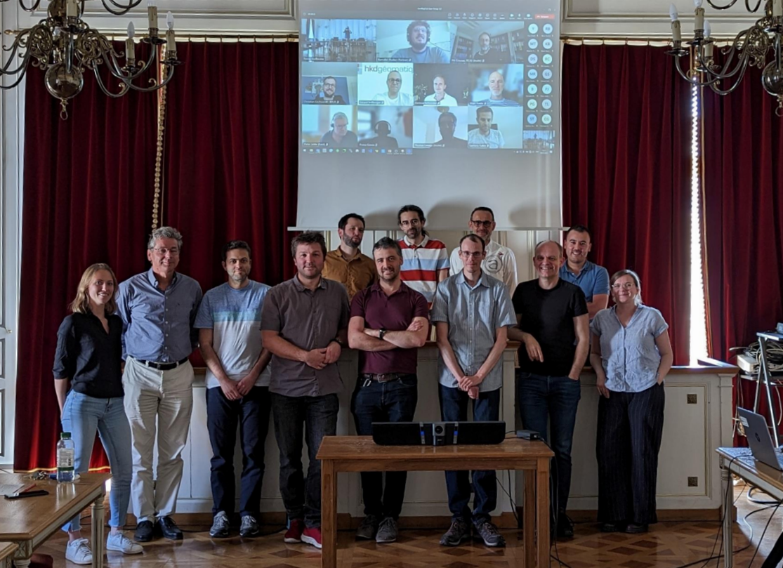
There are various community members coming as well as from the public, private and academic sectors.
It maintains relationships with the given Open Source software editor to ensure the technical and functional evolution of GMF.
It meets several times a year to develop GMF.

Values
Dialogue
To favor an inclusive discussion between the different members and the product editor.
Consensus
To favor decision taking by common consensus, based on a known roadmap, a choice on the evolution stack and development prioritization.
Mutualization
To favor mutualization and cost sharing in function of the financial resources of each member.
Sustainability
To provide financial support for developments in order to ensure the sustainability, maintenance and evolutions of GMF.
Participative
To spread the financial burden on a maximum of members in order to reduce the share of each member.
Open source
The source code of GMF is Open Source.
How it works
The community, composed of a User Group, meets regularly to discuss the proposals made by the PSC (Project Steering Committee) in order to:
- Check the progress of the developments.
- Verify the current state of finances.
- Share everyone’s experiences regarding GMF.
PSC
- Basel-Stadt, Neuchâtel (cantons)
- Cartoriviera, Cartolacôte, MAPNV, SIGIP (cities)
- techplus (engineering office)
- Camptocamp SA (supplier)
UserGroup
- Canton of Basel-Landschaft
- Canton of Basel-Stadt
- Canton of Grisons
- Canton of Jura
- Canton of Neuchâtel
- Canton of Schwyz
- Canton of Ticino
- CartoJuraLéman (district of Morges)
- Cartolacôte
- Cartoriviera
- City of Lausanne
- City of Prilly
- City of Pully
- City of Saint-Pierre
- GeoCommunes
- Geoportal of Nord Vaudois
- RUDAZ + PARTNER SA
- techplus (Tirol)
Contributors
- Ecole polytechnique fédérale de Lausanne
- Ingéo SA
- swisstopo
Best practices
The members agree on the following:
- To participate, within the limits of its financial and / or human capacities, to the evolution of GMF.
- To regularly come to the organized meetings.
Benefits
- To participate in the definition of the roadmap of GMF.
- To put forward functional expectations may they be technical or functional.
- To be informed by the product editor and the PSC (Project Steering Committee) on the current GMF developments and the surrounding Open Source ecosystem.
- To benefit from developments by the openness of the code.
- To share other members’ experiences and problems regarding GMF.
- To be at the heart of a network of members sharing similar needs and issues.
