Overview
GeoMapFish allows you to build rich and extensible WebGIS applications easily and flexibly through an online geoportal. It was developed to meet the needs of a wide range of stakeholders in the geospatial domain, including public, private, and academic organizations.
GeoMapFish is driven by an active community and a project steering committee.
It provides a comprehensive set of tools and technologies for the geospatial ecosystem, including both back-end and front-end frameworks for building powerful GIS viewers.
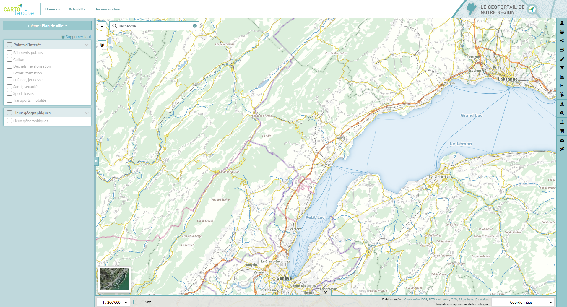
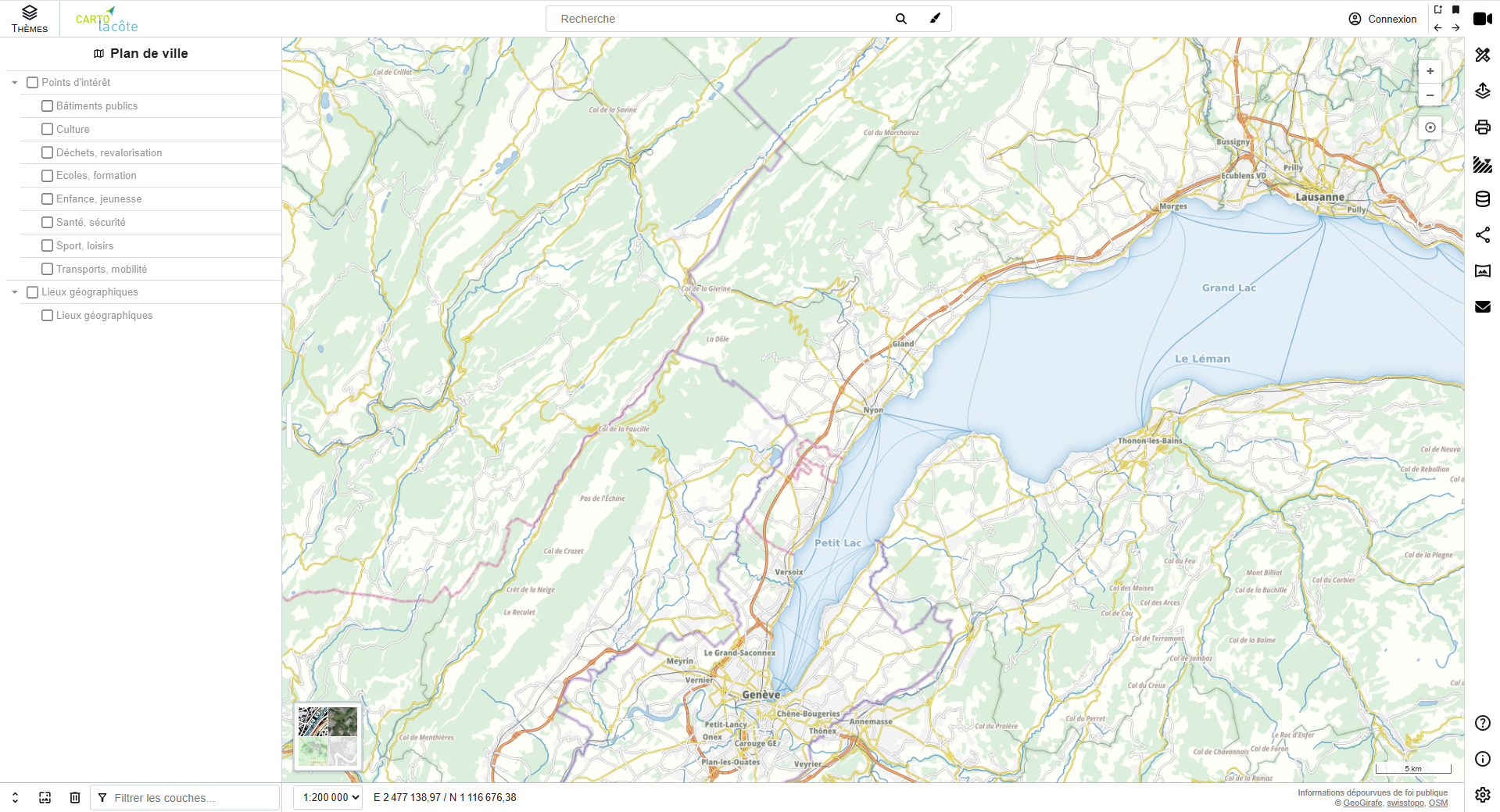
Features
GeoMapFish offers a wide range of features to build a high-performance, user-friendly, interactive, and customizable WebGIS application that meets the diverse needs of its users. Discover all the projects available to help you build your own geoportal.

Access control
Spatially manage who can access your data with fine grained permissions and support for OpenID providers.

Advanced editing
Editing (points, lines, polygons, snapping) is possible on protected database layers. It is even possible to restrict editing to a given area.

Interoperable
Supports a wide range of OGC fomats: WMS, WMTS, COG, OGC Api Features, GeoJSON, KML and more.

Cutomizable / Extensible
through generic and/or custom plugins, it’s possible to adapt the application to all the needs of different users.
References







User Group
GeoMapFish users meet 2/3 times a year, so that members of the project committee can present the progress of developments and propose demonstrations on different themes.